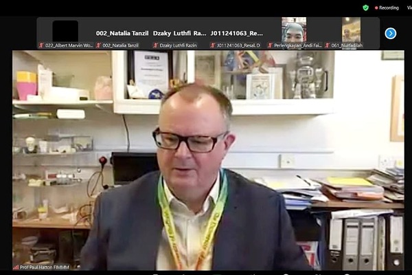
The Faculty of Mathematics and Natural Sciences (FMIPA) held a Diaspora Webinar with the theme “Acoustic Remote Sensing: Right Tool for (Sub-) Seabed Mapping in Deep and/or Highly Turbid Water When Remote Sensing Satellite Becomes Incapable” by Dr. Justy Siwabessy (Geoscience Australia). The event was conducted virtually through the zoom meeting application on Thursday (30/9).
The activity was officially opened by the Vice-Rector for Research, Innovation and Partnership, Prof. dr. Nasrum Massi, Ph.D., Sp.MK. In his speech, he said that this topic has the potential for collaborative research between the Unhas and international partners.
“We hope that the webinar can inspire the academic community to establish an innovative research based on the topic discussed today and publish the result in an international journal,” explained Prof. Nasrum.
Dr. Justy explained Acoustic Remote Sensing, which is the process of obtaining digital information representing the characteristics of the earth’s surface or sub-surface properties. The process involves observing and measuring an object remotely using satellites, aircraft or ground-based systems.
Meanwhile, the seabed mapping is carried out from various platforms, such as ships, autonomous underwater vehicles, deep crane equipment, satellites, and fixed-wing aircraft. The data is used to create products such as bathymetric maps that reveal the topography of the seafloor that describes the depth, shape, composition and structure of the seabed and coastlines.
“Acoustic Remote Sensing that uses underwater object detection technology with acoustic instruments using certain sound waves is more effectively used than Google Earth satellites. The resolution mapping captured is not sufficient to monitor the diversity or navigation and infrastructure development, so higher resolution is needed,” explained Dr. Justy.
Furthermore, Dr. Justy added that acoustic remote sensing is the only effective technique for investigating the ocean floor structure. Modern high-frequency multibeam echoes transmit and receive scattering signals. It also can produce bathymetric and backscattering data with a spatial resolution of about 2% of water depth, allowing us to map the seabed in great detail and accuracy.
The operation applies one or more recording devices without direct physical contact with the objects under supervision. The recording techniques use electromagnetic radiation, force fields, or energy. They are captured by cameras, radiometers, scanners, lasers, radiofrequency receivers, radar systems and other devices.
The event guided by Dr. Magdalena Litaay, M.Sc., (Head of the Laboratory of Environmental and Marine Sciences, FMIPA Unhas) was attended by approximately 300 participants.
Kumara Tungga Dewa, S.S.
Editor : Ishaq Rahman, AMIPR

