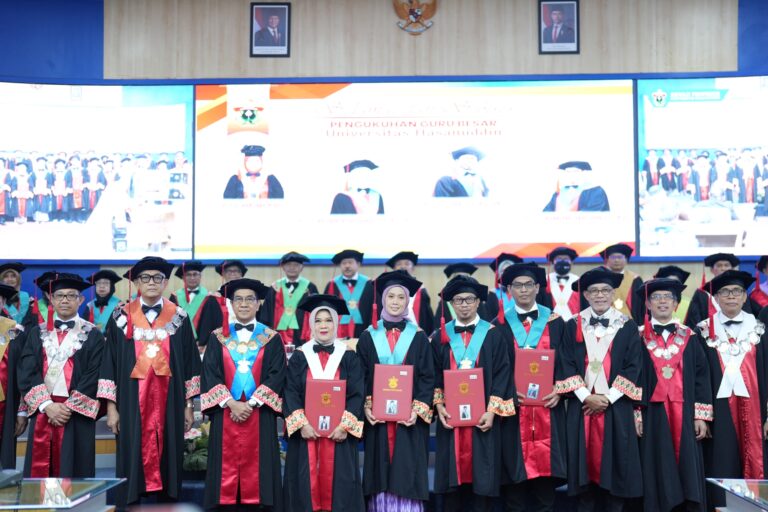
Center of Research and Regional Development, Spatial, and Space Information (WITaRIS) Universitas Hasanuddin, Thursday (2/6/2016) launched the Geoportal during the series of events including a public lecture, in the Ipteks Unhas Building.
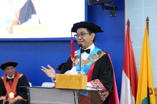
Unhas Rector represented by the Vice Rector I Prof. Dr. Junaidi, M.Sc stated, that the operation of the website will be technologically facilitated to counter possibilities of unwanted issues in the upcoming future. With the website services utilized, it is hoped the essence is not only the utilization aspect but also the problem of technological use.
The Geoportal does exhibit not only the attribute, but also other features that are well prepared. Through the portal, we can estimate the distance of a particular area to another, including how large the area is. If you choose the space option, then it will show how extensive are the protected forests are, as well as plantations, fishponds, and others. The system will search, and provide different colors for all aspects.
“At first I also thought, how are we able to give food for our families based on a map,” stated the doctoral graduate from Germany in a public lecture entitled “The Role of Geospatial Information in the National Development Planning.”
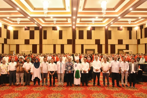
Head of the Puslitbang WITaRIS Unhas Dr. Nurjannah Nurdin, S.T., M.Si., explained that the public lecture and launch of the Geoportal is attended by the SKPD staff of South Sulawesi Province, students (Bachelors, Masters, and Doctoral Programs), with the aim to disseminate information in geospatial matters. The event is in coordination with the Center for Geospatial Information (BIG) with Unhas, of the conduct trusted to the WITaRIS LP2M Unhas through the establishment of the Research and Geospatial Information Development (DP2IG).